
This study is to demonstrate the potential to improve extreme cool-season precipitation forecasts in the Arabian Peninsula (AP) at sub-seasonal time scales. Top 18 extreme precipitation events occurred near Jeddah, Saudi Arabia were studied using the Weather Research Forecasting model at convective-permitting spatial resolution (CP-WRF). Initial and lateral boundary conditions are provided by European Centre of Medium-range Weather Forecasts sub-seasonal to seasonal reforecasts (ECMWF S2S). The CP-WRF simulations are initialized one-, two-, and three-week before the events.
The CP-WRF accurately forecasted the precipitation over Jeddah, the west coast of AP, and the central Red Sea up to three weeks lead time, as compared to driving ECMWF S2S reforecasts. Relative Operating Characteristic analysis confirms improving precipitation forecast probability from using CP-WRF. Further, mesoscale analyses indicate the precipitation forecast improvement is more pronounced when dominant extratropical synoptic regimes are present.
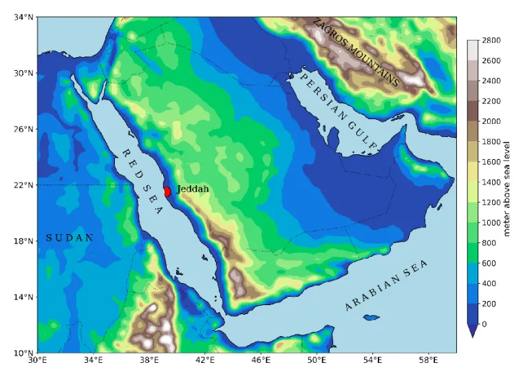
Figure: CP-WRF convective-permitting domain covering the Arabian Peninsula, with topography details.
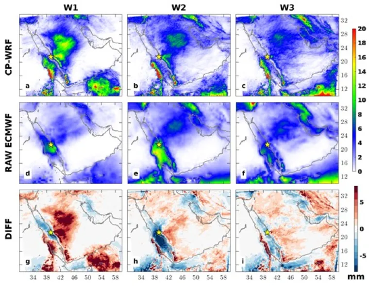
Figure: Average total precipitations in the extratropical events obtained by CP-WRF (a–c) and the raw ECMWF (d–f), and their difference (CP-WRF minus raw ECMWF) (g–i). At the 1-week lead time (W1), the precipitation was accumulated for 3 days centered on the day of the event. At the 2- and 3-week lead times (W2 and W3 respectively), the precipitation was accumulated for 7 days centered on the day of the events. The star indicates the location of Jeddah.